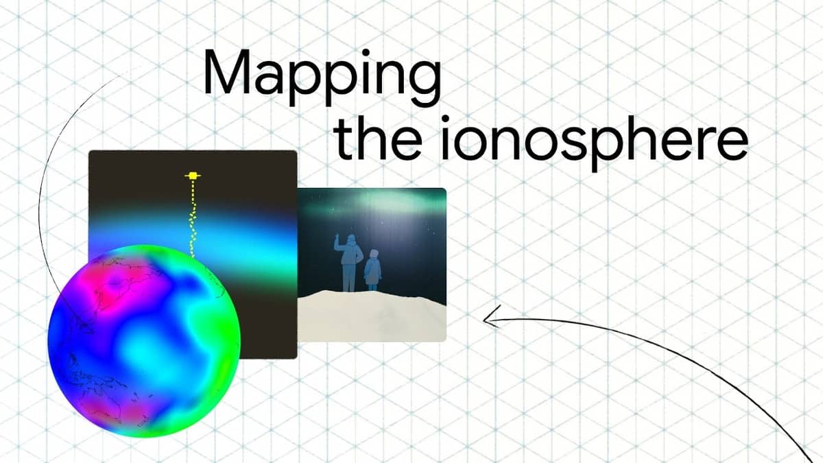
Researchers from Google have launched a project that turns millions of Android smartphones into tools for mapping the ionosphere, significantly improving global navigation systems.
The study, published in Nature, shows how smartphones can collect ionospheric data, filling gaps left by traditional ground-based stations.
The ionosphere, a layer of charged particles high above Earth, affects Global Navigation Satellite System (GNSS) signals, causing navigation errors.
However, traditional GNSS stations, while accurate, have limited coverage, leaving some regions vulnerable to inaccuracies.
To address this, Google researchers used Android phones equipped with dual-frequency GNSS receivers to create a distributed network of sensors. These smartphones, which are mobile and widespread, can gather vast amounts of data.
By combining data from millions of devices, researchers achieved ionospheric measurements as accurate as those from dedicated stations.
The results showed that phone-based ionospheric models outperformed existing models, like the Klobuchar model, used in mobile phones.
The project doubled the measurement coverage compared to traditional methods, allowing for high-resolution maps of plasma bubbles over India and South America and storm-enhanced density over North America during a geomagnetic storm in May 2024.
Regions like India, South America, and Africa, which are often underserved by traditional networks, benefited the most from this approach, receiving real-time, high-resolution ionospheric data.
The study also revealed previously inaccessible phenomena, such as mid-latitude troughs in Europe and equatorial anomalies.
This innovative use of smartphones is expected to significantly improve the accuracy of navigation systems worldwide, especially in underserved areas.


Leave a comment